AND server option
AND GIsArea
AND GIsArea is responsible for all issues relating to maps, geo-references, and addresses.

The geographic information system of the AND SystemSolution
AND GIsArea is a management system in the geographical context for topographic backbone networks and schematic domestic distribution networks, raster and vector maps, as well as geo-referenced data with attributes such as addresses, buildings, amplifier stations, etc.
The total visualization of large quantities of maps, networks and data is optimized using a caching mechanism for optimal performance. A wide range of map formats is supported including DXF, DWG, KML, Shapefiles, etc.
An automatically maintained index permits fast search and navigation. Transformation functions for maps and versatile import and export options permit GIS management without any great previous knowledge.
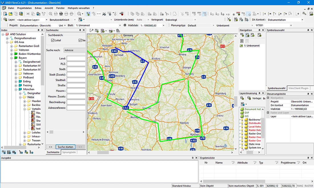
A single Oracle™ database is used for both GIS as well as the network data; Oracle Spatial is not required. All network components are geo-referenced with cables are stored together with their SDO-geometries. All objects within an address location are automatically allocated to corresponding address data with address look-up provided for street addresses, object type, etc.
Not yet available addresses can be quickly generated. An interface to addresses management systems allows for export and import of address including automatic updates. AND also provides optional interfaces to external mapping systems via WMS server/client.

AND GIsArea takes over the planning functions from AND and gives the planning data a geographical reference: every object in the database (buildings, cable routes, amplifiers, or junction points, etc.) is assigned position coordinates – accurate to the centimeter.
AND GIsArea is also able to divide large maps, grid maps, and site plans into small geographical section maps and plans that can be easily edited with the storage space available on a standard computer. The precision of the location and size determination for the individual data objects is fully retained.
When displaying the objects on the screen, a map can be shown in the background to provide a two-dimensional geographical reference. This is similar to working with paper plans, but can be shown or hidden as required.
If the underlying database contains the relevant data, the display of the objects can also be changed, for example to a schematic (network overview plan) or topological display (Network Inventory System NIS).
Pre-planning with AND WebSolution
Define routes and costs early, without specialist knowledge and without installation.